Monday, June 21, 2010

Spending some time in the Skylight

Got a call from Mike last week saying that he and Mark were heading up to the Adirondacks to climb Skylight and Gray on Saturday. Sounded like a good plan to me so I signed on for the trip. They had planned to start pretty early and go up via Lake Arnold(and back). Not one of my favourite routes so I told them I would start about the same time and go over Marcy to meet up with them at Skylight. After enjoying the summit I would then hike down with them on the return trip. Hiking over Marcy – while a little longer and a bunch of extra elevation is – to me – worth the extra effort as the summit cone of Marcy is all above treeline and the views are superb. I opted to start at the South Meadow trailhead while Mike and Mark would start from the Adirondack Loj. We traded a few emails and agreed – first one to Marcy dam would sign in at the trail register with a time of arrival so the other group would get a sense of where the first was and if all things were going to plan for our meetup on Skylight.
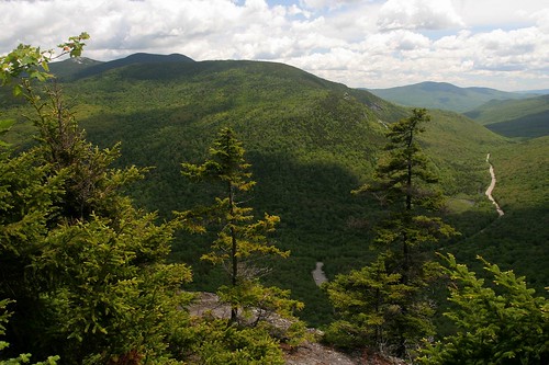
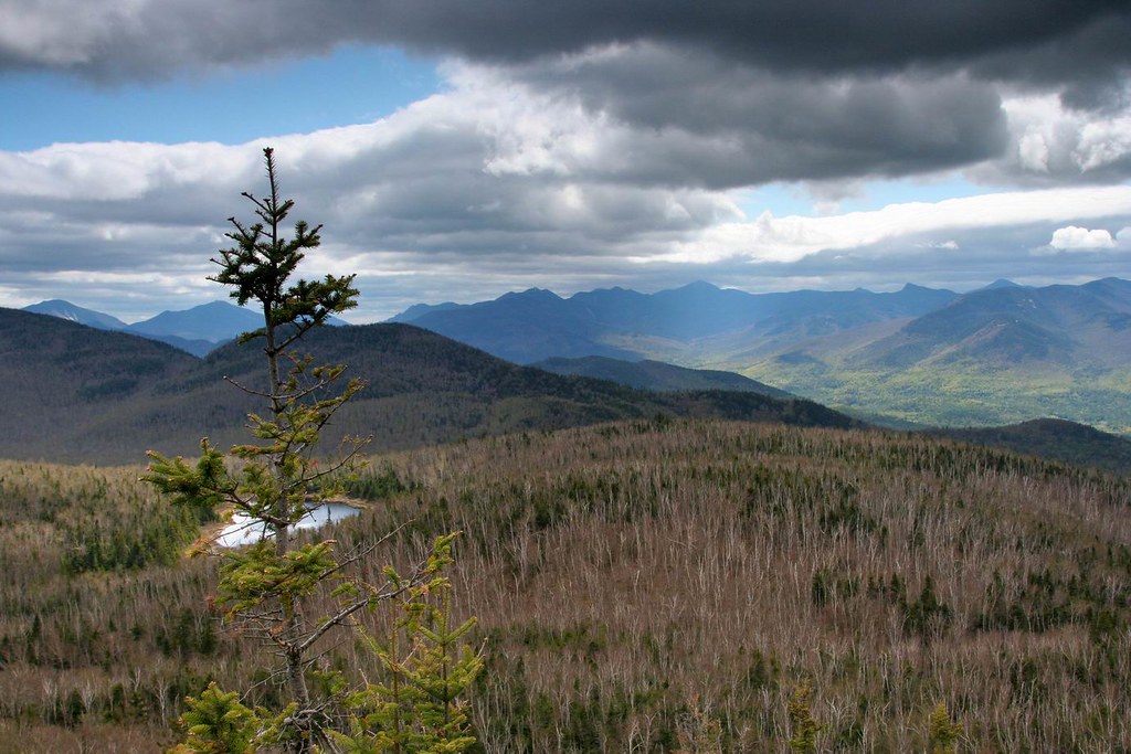
Marcy's south approach
Marcy's southern Flank

Friday night I drove down to South Meadow to camp out and prep for the hike. Got there about 10pm and it was quite busy. As it turns out lots of people were prepping for a “solstice hike” the next day. Around the longest day of the year some folks plan a long (really long) hike covering the entire Great Range in one day. A tough hike to be sure at ~ 30miles and close to 10000ft of elevation gain. They spot a car down in the Keene Valley and then drive to South Meadow to start hiking the next morning. Those folks would be setting off early (~3am) to cover all that ground whereas I got up at a leisurely 4:30 to gear up and head out. Mike had shrewdly planned to start hiking at 5am to get the most of the cool morning air but as I headed out (at 5) it was already 18C and pretty humid. Perhaps there wouldn’t be much cool air to be had after all! All quiet at Marcy dam as I went through. Heading up to Indian Falls the humid air was making things a little damp for me (maybe the uphill travel added to that ;-). Finally arriving at Indian Falls I came across my first hikers of the day. Jack (the dog) and his owner were backpacking over Marcy and down to Lake Colden. Never got the owners name but as I gained on them on the trail I could hear for some distance “Here Jack, Steady, Heel Jack, No Jack, Come back Jack, Stay Jack, Left Jack…. “. Jack was clearly excited to be hiking his first high peak, whereas his owner – with a heavy backpack – was just slowing things down. That said, Jack and his owner summited Marcy in fine style and we chatted for a while (the owner and I) before they carried on with their day.
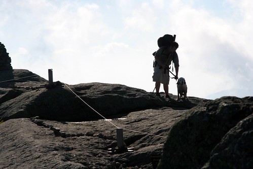
Jack (and owner) summit
Jack and owner summit Marcy

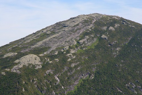
Arriving at the summit I found a large group of 10 huddled behind the summit rocks. While the forest was hot and humid, up here on high a cold (yes cold!) dry wind was blowing hard. I put on a jacket as the large group left and found a good spot in the shelter of the rocks to enjoy a snack with Jack (and his owner). Before long they headed off and I had the summit to myself which is a rare treat. I wandered over to look at Haystack Mountain across the Panther gorge and was treated to a rare sight. Haystack seemed to be at just the right angle to the cold wind to be generating clouds! With the strong breeze cutting across its ridge line the resultant low pressure would suck the warm moist air up from the valley below. When it hit the cool air flow – Paff! - clouds would form and drift rapidly down the Great Range. At one point the entire range – and only the range – was covered in a heavy cloudlayer as if a giant smoke machine had been set in action. I guess while Marcy is known as the “Cloudsplitter”… perhaps Haystack is the “Cloud maker”! Sadly it only lasted for a short while and soon enough the cloud free but hazy skies returned.
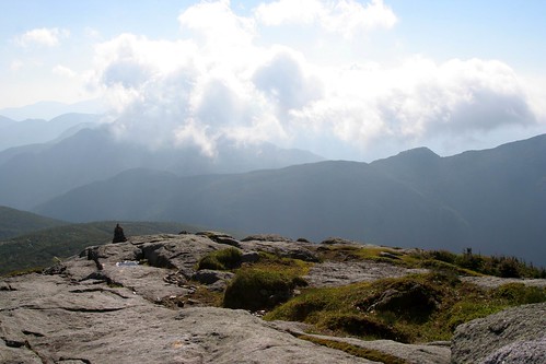
Cloud machine?

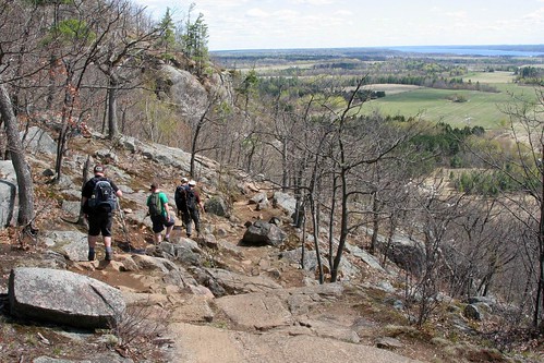
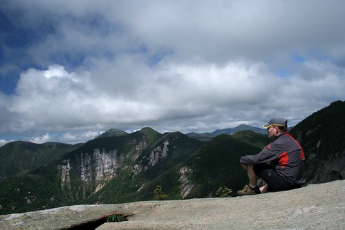
After a good break on the summit I knew I was still likely a good distance ahead of Mark and Mike as they had to summit Gray first before heading over to Skylight. I took a leisurely stroll down towards Skylight all the while looking towards Gray to see if I could see any signs of people on that summit but no such luck. Arriving at “Four corners”, in the col between Marcy and Skylight, I met a couple of hikers who called me by name and told me my friend had just gone ahead up Skylight!?! One person? That seemed wrong. Beetled up the trail and found Mike just summiting Skylight when I broke out of the trees onto the summit garden. Turns out Mark had started the hike but had started to feel unwell somewhere near Lake Arnold and opted to turn back. Bad luck for him but that kind of thing can and does happen to us all from time to time and better to retreat then push on and get further into the wild only to feel worse. After Mark had turned back Mike had opted to bypass Gray so my calculated times for their arrival had been thrown off a bit but we managed to cross paths in the end. Mike and I deposited our rocks on the summit cairn and enjoyed the summit of Skylight for a while. The longer we stayed the less Mike sounded sure he wanted to go up Gray. It was already a long way back to the car and adding another hour to climb Gray… well, that sounded like more of a chore than an enjoyable hike in the hills. So Mike will have to return one day to add Gray to his 46'r list… which isn’t as bad a prospect as it may at first seem.
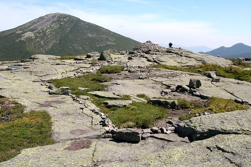
Marcy looms above Skyight
Skylights summit and rock cairn

Heading down we now had the long hike back out. As it turns out for the first half of the hike out the hot sun was starting to get to full power and it sapped my energy pretty effectively. Distances seemed to drag and the body started to ache but slowly we inched our way down to Marcy dam. At this point Mike and I split company as we headed to our cars. Mike found Mark back at the Loj snoozing in the shade and feeling a bit better. I had the walk down the truck trail to South Meadow which always seems longer at the end of the day then it did in the morning. Is the carpark round this bend?… No, but perhaps it’s around that next bend? Nope… repeat, repeat, repeat until eventually it IS the right bend and there was the car! Long day this one was (close to 12 hours since I got up) but lots of summit time was enjoyed on two great peaks. Perhaps I underestimated how long it truly was before heading out. At about 17 miles it was quite a few more miles than my previous warm up hikes (closer to 10 miles).Sitting here now I can certainly feel every mile although the heat and humidity added to the toll. Still it was certainly good to get above the treeline on such a nice day and I added a couple of peaks to my “spring round” A few more pics here… now, On to summer!
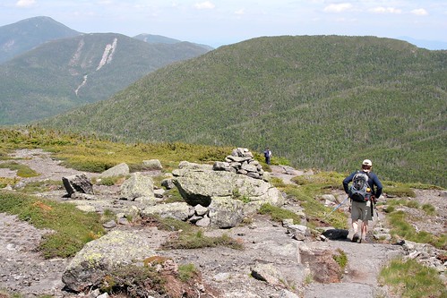
Heading down

Thursday, June 10, 2010

Decompression

Last weekend, one week after Race Weekend, it was time for some decompression time. As I’ve done the last couple of years, I wanted to head off and do a little quiet camping in the woods. Sadly the weatherman was working against me with some strong rain showers forecast everywhere I wanted to go. Saturday morning – after visiting a couple of “Doors Open” sites in town - I headed off towards Montreal still trying to decide where to go. The Adirondacks weren’t looking too promising and neither was Vermont but New Hampshire suggested it might be nice on Sunday… so I was off to the Whites. Drive down was through heavy downpours but I got to a campsite near Twin Mountain just as the rain stopped and enjoyed a quiet evening by the fire with stars over my head.
Rainy mountains
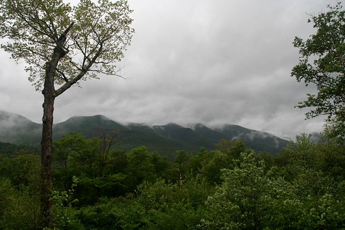
Rainy White mountains

Sadly, Sunday morning dawned with rain drops on my tent… lots of them. Radio forecasts claimed showers all day and they weren’t far off the mark. I drove around to some likely hiking spots but as I arrived at each trailhead the heavens opened up in a heavy downpour. I’m not opposed to getting caught in the rain on a hike…but starting a hike and being soaked to the skin before I even get to the trail register doesn’t thrill me. Instead I would venture on in the car checking out the local scenery, such as it was beneath a heavy cloud cover. Finally around 2 pm I got to a trailhead without pelting rain and went for a lowland hike. Sure enough, a couple hours from the car, the rains started to bucket down and I turned tail and headed back. Cold and damp at camp I layered up, got a hot meal in me and got a big fire roaring as the rain continued to fall.
Looking across Grafton Notch
The clearer skies of Maine

Monday dawned with a low cloud deck – but it wasn’t raining! Packing up the tent I discovered after two days of heavy rain the underside of my tent fly had become a Hilton hotel for big, yellow slugs. Had to be careful to remove the many potential hitchhikers before packing the wet tent into the car. As I drove out of camp it was clear the high peaks were still ensconced in low clouds and, even with a promising forecast it was unclear if the peaks would clear today. I opted to head further north and east to see if I could outwit the clouds. Sure enough as I got into Maine the clouds cleared and the sun shone so all was looking up.
Barren summit
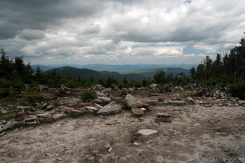
An ugly summit area frames the vistas off towards northern Maine

Decided to head for Old Speck – one of Maine’s high peaks. Old Speck is my first Maine mountain and if this is representative of the other peaks in Maine I am looking forward to returning to them. Much like Giant in the Adirondacks the trail up Old Speck goes steeply uphill from the carpark and seldom lets up. Unlike the Adirondacks the level of trailwork is surprisingly good with lots of nice rockwork staircases and even some small stemples and cabling to aid in steep/wet pitches. Climbing the trail offered a number of great views across the valley to the nearby peaks and once reaching the summit there were 360 views from a small observation platform. That said the summit had been clearcut at one point to offer views (perhaps prior to the tower being built) and now was an ugly open scar that was slowly eroding down to bare rock. From the tower I could see north to the other high peaks of Maine and back into New Hampshire where the Whites had now been cleared of their pesky cloud cover :( . Also on display nearby was the impressive Mahoosuc notch which sits just to the west of Old Speck. The notch is renowned to Appalachian trail hikers as the “hardest mile” on the trail. It's filled with enormous rocks and boulders that the hikers have to clamber over, under, around. Certainly looked impressive from my perch on high but I’ll have to go back one day for a closer inspection of that part of the AT. The descent was mostly painless although being so steep meant slow, careful progress had to be employed as a trip and fall would be pretty nasty. Closer to the base the trail passes many waterfalls which - after a few days of rain were flowing nicely. In spite of the rainy weather this trip worked out pretty well. Some nice quiet time by the fireside, perhaps a beverage or two consumed and I got a couple of hikes in to boot.
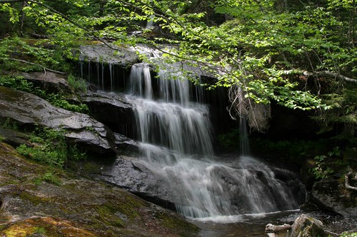
Cascade
Rainfall from yesterday working its way downhill

Thursday, June 03, 2010

Race Weekend Wrap Up

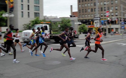
elites streak by

Well, another Race Weekend is in the bag and from all reports things went off smoothly. This year certainly had its challenges. More so than the past number of years it seems but all in all we managed. Certainly Glendon and I parked on the MacDonald Cartier bridge at 4am fastening carpet over the expansion joints will rank right up there as one of the more surreal “what exactly am I doing here” moments in my life… but I suppose those moments are part of the entertainment that brings me back year after year. As usual there was just too much going on all weekend for me to pull out my camera much. This year I managed exactly two photos in brief lulls in my agenda but so it goes. Now - with my head freed of the 12,000 details I need to keep track of and all 40,000 of my closest friends safely home - I can start to think about heading off to the woods for some peace and quiet.

Planning for next year doesn’t start until at least next week ;-)
Half way home

Tuesday, May 18, 2010

Last Minute "Starter" Hike

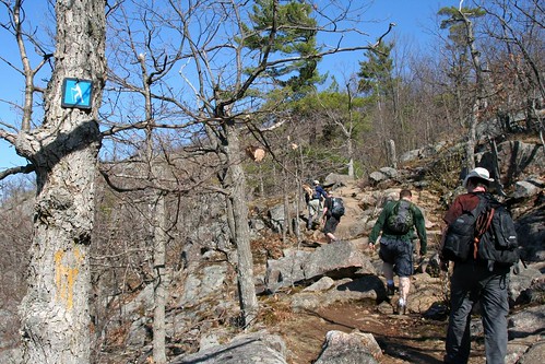
Trail signs

Got up early Saturday morning to watch qualifying for the F1 in Monaco. As I enjoyed the racing I realized I didn’t really have a plan for the rest of the day – a rare treat! It was shaping up to be a nice one so I didn’t want to spend it at loose ends. Mike and I had been discussing the hiking season a bit on Friday and both felt it was probably too early for some of the big 4000 footers which would only just have relinquished their grip on winter. Perhaps a smaller peak might suit the bill. So, with qualifying over (and at Monaco, qualifying IS the race) I packed a bag and set off for the Adirondacks with a nice early “alpine” start of 11 in the morning. As I drove down I debated a few smaller peaks to hike. Pitchoff or perhaps a revisit of Catamount or Jay would be good but a new one stuck out in my head. I had wanted to do the Nun-Da-Ga-o range for some time. Not a long hike and mostly below 3000ft but it’s a loop hike and has reportedly good views along the way so it seemed like a good destination. When I arrived at the parking lot it was quite full but I didn’t actually see anyone on the trail all afternoon so I must have been “behind” them on the loop. I did have the rare honour of signing in after local Adirondack legend Pete Fish – a retired high peaks forest ranger with over 800 ascents of Marcy to his credit. He still maintains some of the local trails in the Keene valley including this one. Alas I didn’t meet him on the trail as he had headed up to Hurricane instead.

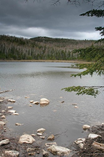
Lost pond
Calm waters on Lost Pond

The Nun-Da-Ga-o trail is a nice loop of about 8 miles. Except for the first part – which is a state trail to a couple of leantos, it is “unmaintained” but that seems to mean little. Locals (like Pete) clear the trail of blow down each spring and build cairns along the way so no threat of losing your way. The first (or last part) is an old woods road leading up to the leantos near Lost Pond. From there a short steep climb up to Weston mountain and then an up and down ridge walk along the range. There are a number of open ridge sections with excellent views to the south and west looking down the Keene valley and into the high peaks. Eventually you come around the loop to Big Crow mountain and then back down to the car. While it was beautifully sunny when I left Ottawa, it was overcast and looked like it might rain at any minute (but it never did) in the peaks. A broad band of sun did keep the Keene valley bathed in sunshine but it never got to me nor did it highlight the nearby high peaks. Instead a cool breeze forced me to take short breaks and keep moving to stay warm.

Weston mountain
Moments of sunshine that wouldn't last

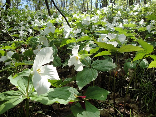
I always find it interesting that going up mountains is a little like walking backwards in time. At home in the Gatineau Park summer conditions are prevalent. Blackflies are out, and the leaves in the trees are fully deployed. As I worked my way up the mountain I was walking backwards into spring. No bugs per se, and the leaves were just starting to bud. Trilliums and other early spring flowers – mostly done at home – were just starting to push up as I got above 2500ft. No snow and ice was found but the flat parts of the trail were pretty muddy suggesting the winter frost was just starting to leave the ground. All in all a beautiful hike. Got out of the woods around 6 which meant it was a good time for a quick pint and a 'burg in L.P. before making the drive home. Nice to find that, despite coming to the Adirondacks quite a bit in the last few years, there are still some gems to be found.

A rare sign
Time to head down

Tuesday, May 04, 2010

A quick "work" trip to Maniwaki

Headed up to Dave's cottage near Maniwaki on the weekend to help him get things set up for the season. Always lots to do when you own a cottage and while it’s not my cottage I’m happy to give him a hand and lighten the load a little. Besides I’m well “paid” with beverages and there's usually (always!) a good meal on the table in the evening so I’m not complaining. Water pumps primed, docks shoved in the lake, a few odd mending jobs and then a wander up and down the shore to help out other neighbours struggling with the same tasks (and a few more beverages offered) made for a full agenda. The weather wasn’t scheduled to be too good but the heavy rains forecast seemed to hold off for the most part. When it did shower it provided some welcome relief from the blackflies who’ve made an early appearance. Perhaps no surprise that they’ve arrived early as everything else seems ahead of schedule this year so why wouldn’t the “hatch” be early as well. In truth the blackflies weren’t at full force. They clouded up around your face (which was annoying) but they didn’t seem to fully understand the biting and bloodsucking part of their life cycle. My guess is a few more days and they’ll have the procedure down and be quite the horror show.

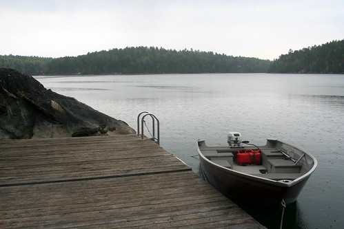
rainy lac Roddick
A little drizzle made for comfortable working conditions

After dinner we took the quads out to tour around the backcountry a bit (blackflies had gone to bed) and stopped by a local bog to enjoy the frogs chorus. It was nice but absolutely deafening so we didn’t stay long. If the blackflies are active I suppose the frogs will have a good season as well. Was certainly nice to get up here and relax (albeit being put to “work”) for a bit. April has been particularly busy getting ready for Race Weekend with the modified courses. Lots of meetings, measuring and changes of plan all of which seemed to fall at pretty much the last minute has made things somewhat chaotic. At least the course is now set and we can focus on the regular chaos in the next few weeks. Some one posted on Trirudy that the maps for the courses haven’t been posted on the Run Ottawa website. Not sure why that hasn’t happened yet (they should be up soon) but – for my tens of readers – here is an exclusive look at the courses. Marathon - half marathon. A bit of a change from previous editions which was primarily a result of the Alexandra bridge being closed for repairs. This year’s marathon course even runs through a small (hill free) piece of Gatineau Park. If you’re running, these will be interesting. If you’re not you might want to know where to go to see the spectacle. If you’re really uninterested you might want to know where to avoid! All I can say is trying to cross the Ottawa River on the morning of the 30th may be a challenge.

Trilliums everywhere
Natural flower beds

On Monday, after a few errands on a rainy morning the sun cleared up so I headed up to the park for a little walk. Toured around the MacKenzie King estate checking out the flower beds. Tulips were nice but looking to be on about their last legs. Might not be too many tulips for the Tulip fest. Again the blackflies were out but nowhere near the strength I had encountered an hour north of town. Not much biting either but like their northern brethren I expect they will organize and gain strength over the next few days. Hopefully an early spring doesn’t mean an extended blackfly season… of course the mosquitoes and deerflies won’t be far behind so accepting/coping with the bugs is all part of the summer round these parts.

Dry bird bath
Even with all the rain the birdbath was dry... but this bird seemed to be enjoying the flowers none the less.

Wednesday, April 21, 2010

Firetower Trek

Spring time brings Bryan's (now) annual hike to the firetower. Typically on a fine - and preferably a work – day we head up the line to Luskville and make the trek up to the tower to enjoy the first look at spring and hike without the bugs. Usual suspects joined in on the hike with one new participant. This year we started our day with breakfast at Moe’s (no the new participant on the hike wasn't Elvis)which was a new but welcome twist. This put us in prime position to head across the Champlain Bridge after the morning rush saving some aggravation as we drove up the line.
Climbing up
Heading up the trail

Volume on the trails on Monday was surprisingly low with just a few small groups of hikers. We did come across one school group which had a wise teacher who understood that there was lots to learn in the woods on a fine spring day. Warm sunshine greeted us as we made the climb. I’ve certainly been pretty relaxed these past few weeks since the snow melted so the climb took its toll. “Measurement rides” just aren’t at a very fast cardio pace so I guess I’ve got to start ramping up the rides if I want to climb the hills this summer.
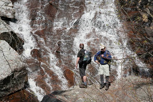
Checking out the cascade
Rest stop to check out the falls

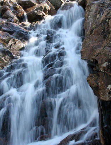
Once on top there was a welcome break for lunch beside the old tower and perhaps a beverage or two. In past years we’ve been able to find some snow to cool down the drinks but there was no snow left to be seen on this day. Seems like winter ended months ago yet it’s probably only been a few weeks since I put the skis away. However long its been the waterfalls were flowing but surely not rushing down the mountain as we’ve seen in past years. A few early weeks of spring and a pretty small amount of snow over the past winter meant the water levels in the falls weren’t gonna set any records. Didn’t see much in the way of wild life on this hike either. A few hawks circled above the escarpment and Dave nabbed a (somewhat) rare green snake but that was about it. Perhaps the bears were all down by the parkway looking to harass cyclists.
Cascade
Flume

All in all a good day out. Is this our last hike out here if the new “NCC Conservation Plan” goes into effect? I don’t think so. The Luskville trail (and Ridge road for that matter) appear to be maintained as a recreational corridor through the protected “conservation lands” so we should be able to hike and ski for some time to come… but you never truly know with the NCC. I expect the less official “yellow box” trails that skirt along the escarpment and perhaps old trail "10" will more likely be in danger of closing which is a shame. Perhaps the main trails (Ridge and Lusk) will be fine but venture off the beaten path too far and you’ll find chainlink fences and guard towers protecting the flora and fauna.
Heading down
Last chance to see? Probably not quite yet...

Monday, April 05, 2010

First rides of the season

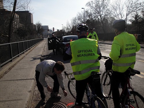
Certainly was more summer than spring out there this weekend. I got the bike out a few times stretching the legs and getting the bike tuned up for the season ahead. First ride of the season is becoming a bit of a rite of spring… and we usually don’t have such warm weather to enjoy it on! Usual suspects showed up very early on Friday morning for a 42.192 km ride around the city. Police escorts (so we can flaunt the rules of the road), cans of spray paint at the ready and a Googled plan and we headed off for the first of probably several of these rides. In truth it did seem a little shorter than in past years (about 3m short in fact) but I’m sure we’ll get that corrected before it becomes a critical issue. You want to get it right before 40,000 friends come to visit at the end of May.

Course measurement
Setting a control point

P.S. NO, I can't get you an entry into the Half!!!

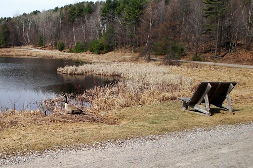
Silly Geese
The geese were trying out the bench but decided to return to the lake as I arrived

Saturday I went up to Lac Phillippe to ride in a slightly more tranquil environment. Of course the mountainbike trails don’t open for a few more weeks (May 5th I’ve heard) but I figured the campground roads around Lac Phillippe would be reasonably dry and make for some nice riding. Quite a number of walkers out and about heading in to the beach to get an early start on the tan. It was 28C on Saturday but there was still ice in the lake so I don’t imagine there was a lot of swimming going on. Enjoyed a pretty casual ride – testing the bike out and making some adjustments as I went. In fact the gravel campground roads still had a little snow on them in spots and were a bit soft in others so I ended up returning out to Ste. Cecile to do a little longer road ride. Things should dry up pretty quickly if it stays this hot.

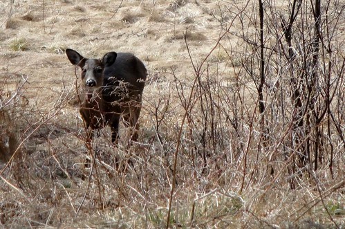
Curious onlooker

Monday, March 29, 2010

I think that's it...

Clash of seasons
Clash of seasons - These guys rode the full lap of the parkway

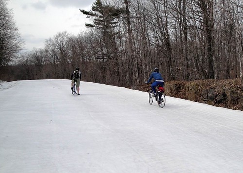
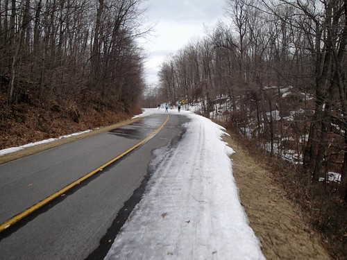
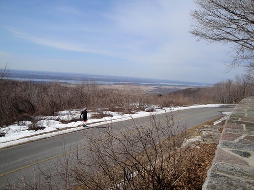
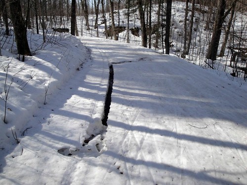
Went for likely my last ski of the season on Sunday. Just a little tour up the parkway from P10 and out towards Black lake. Except for walking ~100m up the hill from the car to find the first snow I was surprised to see I didn’t have to take my skis off at all. A few spots had a narrow ribbon of snow along the edge but all were connected so the skiing was good. I took my waxless skis and was also nicely surprised to find the classic track was in pretty good shape – solid tracks with a slightly slushy base for good grip. Even with a good ski though I think that will be it for me. As I skied yesterday I met more walkers than skiers and even the pair of cyclists shown above. Perhaps that should be the sign of the end of the season more than anything. Today it is raining and by the coming weekend temperatures will be in the 20’s. That doesn’t bode well for the remaining snowpack so it’s time to clean up the skis and think of summer pursuits. I always say if you can ski into April then it’s been a pretty good year. Well I can almost see April and yet I don’t think I’m gonna make it. This has probably been one of the shorter ski season I can recall. A late arrival of snow and now an early departure (and not a lot to rave about in between). With luck that will mean next year will be A++ with snow falling early and often!

Ribbon of snow
Headed for home

Sunday, March 21, 2010

What a difference a couple of days makes

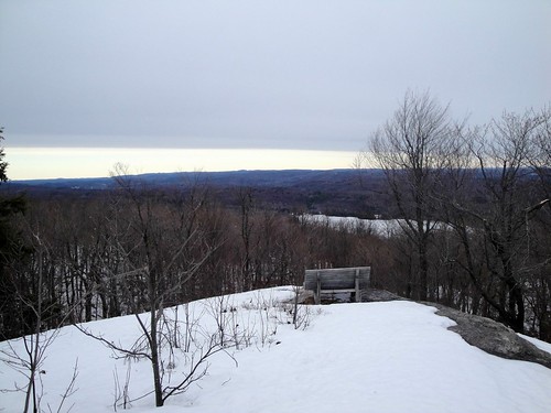
Friday the snow was pretty good – nice even consistency and good coverage pretty much everywhere I skied - with just a few little openings in the snowpack here and there. Saturday and Sunday those little openings started to grow and while I still managed to ski most everywhere without taking my skis off, it won’t be long before portaging from one block of snow to another becomes necessary (like as soon as tomorrow?). Saturday I skied up Burma which was still pretty nice. Made a detour up to the Ramparts which was a bit of an exercise. The backcountry trail doesn’t get the same compaction from the groomers that the main trails get so the snow was soft… or gone all together. A few spots had snow coverage but deep water (okay only a few inches deep) lurking underneath so extra care was needed. Managed to escape getting soaked but had to make the last little climb up to the lookout sans skis as the snow had melted through. Still, it was worth the effort to check out the view for the first time this year (how did I not get up here sooner?).
Ramparts view
A nice view but it was slow progress to get up here

Sunday I stuck to the parkway and had a pretty good ski. Interesting that the trail up from P10 (last of the daily groomed trails) was well churned and soft with the masses of skiers trying to get in one last ski before the season ends. Closer to my starting point at MacKenzie King (where there’s been no grooming for a while) the snow was smooth and fast. As an added bonus there were small clouds of bugs floating over the trail at various points on my ski. That must surely be a sign of spring! Not sure what they were on about but I did swallow a few inadvertently as I skied along (extra protein?) and they didn't seem to be in a hurry to get out of my way.
Black Lake
Patches of asphalt opening up

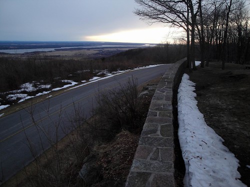
The groomers are now done for the season – barring a late season snowstorm - and I for one want to thank them for their hard work on what has probably been one of the tougher years in my memory. First the big ice storm at Christmas time and then not much snow to work with… and yet the trails were still in pretty good shape throughout the year - or what there was of it. Many thanks indeed.
Sunset from the lookout
Sunset on the ski season?

Still a few more days to ski but I fear those days are dwindling. As the portages open up each skier must make the call as to what ratio of walking to skiing is still worthwhile to them. Time to start cleaning up the ski fleet and packing a few pairs away… but I’ll keep a couple of pairs handy for a few more days yet.

Friday, March 19, 2010

A sunny, lethargic ski...

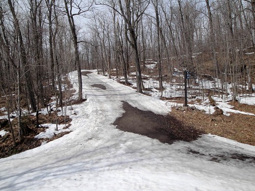
Out for an easy ski today. Getting to be full on spring skiing season even if the calendar still says "winter" for a few more days. I opted to ski out of P7 and for the first few hundred meters thought I had perhaps made a mistake as I had to walk a bit. There were a number of open muddy stretches along the trail and where there was some snow it was covered in thick pine needles so skiing wasn't an option. Fortunately, as I got a little higher up, the snow returned and I was able to ski up the rest of the hill. A few little open patches here and there but a ribbon of snow on one side or the other made it passable.

Wattsford lookout hill
Wattsford Lookout hill was still skiable

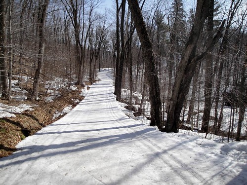
Once up top it was a whole different story with a good base and excellent skiing. Don't think there has been any grooming on Ridge for a while but the base is a pretty solid frozen mass so it doesn't matter. The heat of the sun only serves to make the top layer (maybe an inch or so) soft which makes for good edging. Even the classic track looked good in most places. Skied up to the Brule lookout and then spent a 1/2 hour or so enjoying the sun and chatting with skiers as they went by on the parkway below.

Brule lookout
Almost time for the short walk along the lookout

From there it was down Burma which was also in excellent shape. One short rocky "portage" and another spot with a downed tree but the snow was in excellent condition. Even the steep final descent to the parkway was pretty good although a few thin spots have started to open up. As I skied up the parkway on my way home I noticed that the "yellow line" is starting to appear through the snowpack. Not a good sign but it should be a few days before it melts into the open air. All in all a great day to be out on the trails. No real rush today just a chance to enjoy the sun and ski easy.

Tough waxing
Tough waxing along here... do you wax for the right ski or the left ski...

Some colder weather coming (well, single digits anyway but below zero at night) and maybe even some more snow(?). Don't think it will be enough to "save" the spots that have melted through but a little bit of fresh snow could make for some nice skiing and maybe milk the end of the season a little longer. I guess we'll see.

Ridge road
Easy skiing along Ridge road

Tuesday, March 16, 2010

A Ski up "Windyface"

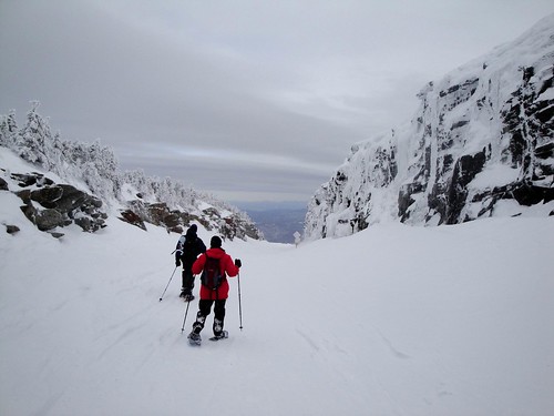
One of the objectives I had at the beginning of the ski season was to get out on my shiny new BC skis that I had picked up last year at an end of year sale. For the most part I had been hoping for a big dump of snow to take them out on their maiden voyage but they had sadly sat mocking me in the front hall for most of the season. As I stared out the window on Sunday into the driving rain I realized I was rapidly running out of time and these untested beauties would remain…well, untested. Without much forethought I decided on Monday to load up the car and head down to the Adirondacks to get them skiing… but was still working out where to go as I drove down. Most of the classic BC routes that I’m eager to ski go across large bodies of water which I’m thinking would probably be a little questionable in terms of ice thickness. They’d probably be okay but with 2m sticks tied to my feet I swim like a stone so who’d want to take that chance. Debated the Sewards but with the summer road recently closed and a lot of rain fallen in the last couple of days there might be a long walk up a slushy/muddy road to get to the skiing. But when you’re looking for snow, when all else fails and you don’t know where to turn - there is always Whiteface. Sure enough as I passed “Norman’s” in Bloomingdale it started to snow and it only got deeper as I drove up to the Toll House.

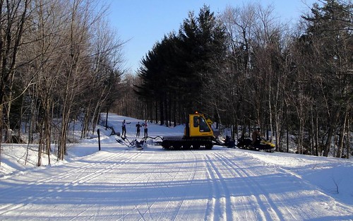
Groomed track to the sky
On the long march up to the clouds

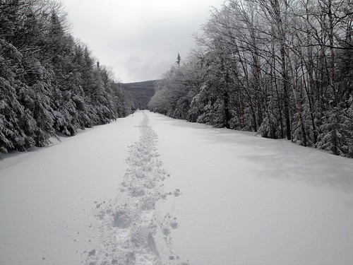
The snow that fell was pretty wet (and probably 8-10”+ deep) but I knew it would get colder and drier as I gained elevation. I opted for klister on the skis to give me grip and stuck a colder wax in my pocket to improve things as the conditions changed. As it worked out I had good grip/glide for the first mile or so and then things started to ice and clump on the bases. The colder wax didn’t improve things and I was stuck at times hauling the snowpack up the mountain on the bottom of my skis. Made for slow going but things weren't too bad as 2 people had already snowshoed up the road and the resulting broken trail made life a little easier. Besides… when you’re going up the Toll road it’s not your typical rolling ski trail. It’s aaaalllll up hill until it’s time to turn around so too much grip on the way up isn’t necessarily a bad thing. Figured I could scrape off the klister at the top before making my way down.

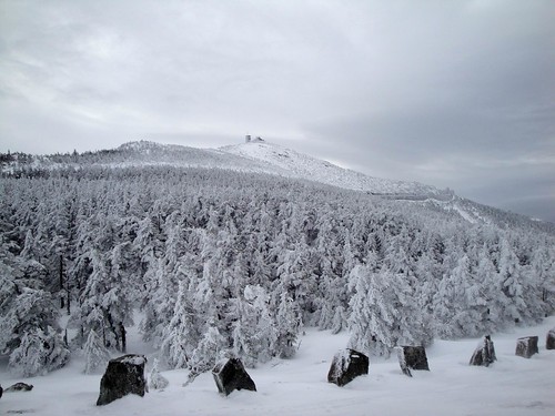
A grey looking summit
Still winter up there

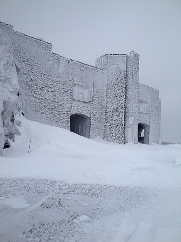
Finally caught sight of my trailbreaking crew as I approached the “Lake Placid” hairpin and I caught up to them at the “Wilmington” hairpin. Ironically it turns out they too were from Ottawa! Thanked them profusely for their hard labours and offered to do a little trail breaking for them from the Wilmington turn to the Castle… but as we rounded the bend the winds caught grip of us and the snowpack was a pretty solid, icy boilerplate so my turn at trailbreaking was pretty easy graft in comparison to their yeoman efforts in the soft, wet snow below. With the strong wind the temperature dropped significantly. What was maybe +5 C at the bottom of the road dropped well below zero (-10? plus windchill) so things were back to winter conditions. Fingers quickly froze as I took them out of the gloves to adjust straps on my pack or fiddle with the camera. Tucked out of the wind behind the castle (the end of the toll road) I dropped the skis and donned my snowshoes to try the short but extremely steep trail for the summit. Jeff and Lynda (the trailbreaking tandem) arrived shortly behind me and we discussed teaming up for a summit push. Lynda (probably quite wisely) had had enough fun climbing for the day and opted against a summit push as the gale force winds were pretty intimidating. Jeff and I tho’, well..., we both have a ‘Y’ chromosome which contains the genetic material that allows us to say (beyond all rational reason) “How bad could it be?” With two of us the climb seemed somehow safer. I am quite confident that neither of us would have tried for the summit had we been alone. In hindsight, if one of us had been blown off the mountain as we pushed to the top there would have been little the other could do except point the authorities to the most likely spot to find the frozen carcass but as I said… it seemed safer. Anyway, we we're just going to have a look and, if it looked bad, turn back.
Time to descend
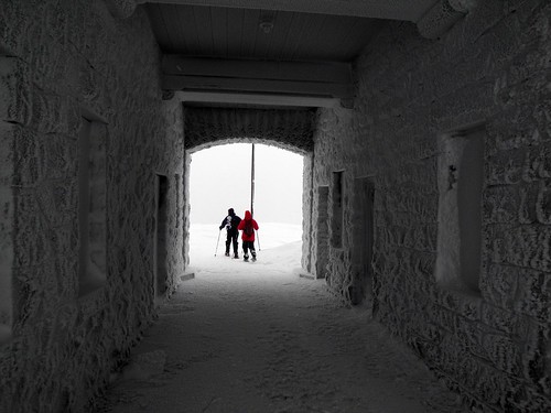
Tunnel under the Whiteface Castle

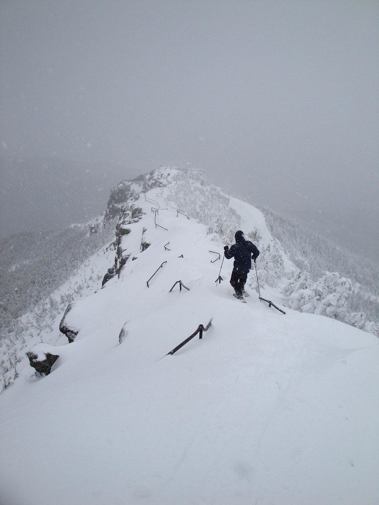
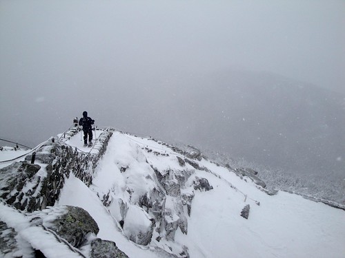
[Mom? You reading this? Might be a good idea to skip ahead to the next paragraph] The trail from the castle to the summit isn’t actually too long – maybe 400m and climbs ~350 vertical feet. In summer it has a staircase cut out of the rock with 2 guard/handrails and takes maybe 5 - 10 minutes to walk up. It does however go across a steep, exposed ridgeline (called an arete) with a particularly dramatic drop off on the west side. In winter we found deep snow, cornices and spindrift greeting us. Heavy winds periodically buffeted us and progress was slow. The handrails in spots were completely buried and in other locations stuck out 4 to 6 inches… more of tripping hazard really. We took turns leading, making slow, methodical progress until we got to the crux of the climb. A steep, side-sloped snow drift, maybe 20-30m long, handrails buried and a gapping avalanche slope dropping away to our right. I wasn’t too concerned with triggering an avalanche as the snow wasn’t the right stuff to be conducive to slide (I think - no obvious slip planes anyway as I stomped deep into the snowpack) but progress across the slope was slow as the winds buffeted us around. Downhill leg was stomping a ledge to balance on while uphill leg was propped tight in the snow on my knee and my “high“ hand futilely clutched at the snow above…. “How ya doing back there Jeff”, “Ummm, Okay….” Shuffle kick, shuffle kick. Quick look down to my right… yep, thousand foot slide still there. “Still good? not far now.” To myself - "How you doin' Kenmore...hmmmm..." Shuffle kick, kick, shuffle. Finally crawled up to a more stable platform with some handrail showing and caught my breath. Final few drifts to clamber up and we tucked in behind the Observatory at the summit and out of the winds. Number 37 for Jeff - Woot!… but I reminded him we still had to get back down for it to actually count. A few photos and then the descent which actually proved pretty reasonable thanks to our already fading but still solid tracks. Interestingly Jeff and I both mentioned, once back down, that, had the other said “This looks a little sketchy, maybe we should turn around” – the other would have quickly agreed. Stupid ‘Y’ chromosome…

Last staircase down to the castle

Safely back down to the castle I chose to walk the first section of the road to the Wilmington turn with Lynda and Jeff. It's hard, icy finish and a lack of steel edges on my skis would have made me more closely resemble Bambi on Ice so I stuck with the snowshoe crampons. At the Wilmington turn I donned the skis and bid adieu to Jeff and Lynda(many thanks!). As I descended the snowpack changed a lot. From the Wilmington turn to the LP turn I was met with mostly hardpack, windblown crud. Below the LP turn(which was windswept down to asphalt) the snow went from delightful soft powder to a heavier and heavier base finally ending at the Toll house in a mashed potatoes consistency. While initially I was a little unhappy (would have preferred champagne powder all the way!) I realized that in a span of ½ an hour I got to try out the skis in a wide variety of conditions so indeed it proved a fortuitous testing ground. They handled most of it well but are perhaps better conditioned to softer material. They’re a bit Kovalev-like in that they like to float! Perhaps I can find something with some edges to better carve through the heavier (or icier) stuff. Too late to hit the end of year sales at the local ski shops? (and therefore set another ski objective for myself next year). More pictures here

Descending through the rock cut
Descending to the Lake Placid Turn

Error on this trip – apart from the questionable sanity described in the summit bid -I forgot my thermos of hot soup in the car. It was tasty (and still hot) as I packed up the car to head home… but would have been amazing at the summit tucked in behind the castle with the frosty winds whipping around. So it goes.

Thursday, March 11, 2010

Spring skiing is all about timing

Out for a ski this morning. Found the groomers had been out covering all the primary trails but I was still a little early for optimal conditions. While the grooming had chewed up a little of the surface making for nice skating I did find a number of (mostly shady) locations where the heavy rig had somehow floated over the bulletproof snowpack leaving almost no mark in the surface. The result was some very hard, icy sections that were difficult to get an edge in (See Jo-Ann – even I find it too icy sometimes ;-). Fortunately these were only in isolated spots so I pushed on looking for the next granulated surface to ski on. To be fair, the snow would likely have softened a little later in the morning once the sun got a little more power making for a beautiful surface. Spring skiing is all about timing!

Traffic at Gossip corner
Traffic jam at Gossip corner

Rain clouds are supposed to be coming in for the next few days. While there is still plenty of snow for skiing in the park, a few days of rain could put a bit of a dent in it. Rain will also most likely change the consistency of the snowpack and perhaps open up a few bare patches. Can’t see not skiing next week though – still too much base. Seems far too early to be thinking about wrapping up the ski season but there may only be a week or two left unless we get a snowstorm in the near future. Wouldn’t take the ski gear out of the car just yet tho’ (Tripper, I’m looking at you!).

Fresh tracks on Burma
Fresh tracks on the Burma road

Saturday, March 06, 2010

Would that every day were as nice...

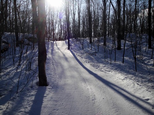
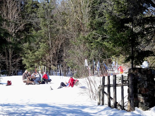
Hard to imagine a better day to be out skiing. In spite of the “Bad conditions” sign at the parking lot I got out at just about the right time of day choosing to head out to P16 and ski the Pine road. The groomed trail was just a little icy as I started and then just starting to get slushy in the direct sunlight as I finished so my timing was good. The temperature rose from maybe a couple of degrees below zero to a couple of degrees above before shooting up in the afternoon (after I was home) to +8C and there was nary a cloud in the sky. The so called “bad conditions” were actually pretty good. The skating lane did have a few ruts and ridges in it… but nothing overwhelming or difficult to ski over. To be fair the classic track was a little shallow but I found it quite serviceable as I jumped in to coast on a few down hills. I skied out to the Lac Phillipe campground along the road before returning from whence I came. Quite a few people out along the trail enjoying the weather as well. Might have been a bit of a chore to get grip wax dialed in but the skating was fast and easy. Upon returning towards my car I made a quick detour over to Meech Lake to take a little time on “the bench” and soak in the sun.

Herridge lodge
Why sit inside on such a nice day?


Days like these are hard to beat but of course this indicates that the end of ski season is drawing ever closer… which just seems too early. The weatherman is predicting these warm days to continue but at least it’s getting pretty cold at night. That will be good for the snow pack as it melts down during the day before re-freezing overnight. I can certainly see another couple of weeks of skiing but will it make it to April? Time will tell I suppose. Maybe we’ll get a big dump of snow to freshen things up.

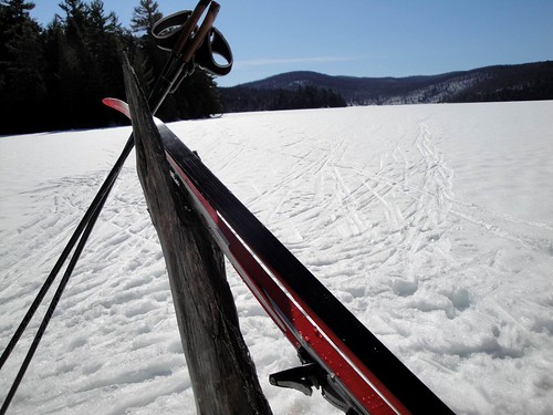
Natural ski rack
Enjoy it while it lasts

Friday, March 05, 2010

A Night at the Races

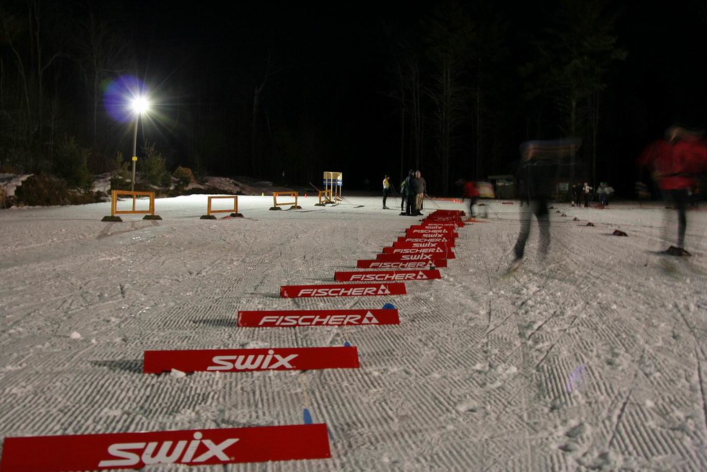
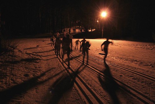
Time for the XCOttawa Pursuit race. New date, new Race Director, same good time. This time it was a night race under the lights at Nakkertok which surely added some new challenges for the racers. I headed out once more to help out with setting up the course and marshalling the route. Setting the course for a pursuit race requires a two loop course - one for classic and one for skating – and a great big pit area so the racers can swing in, swap skis from one technique to the next and tear off on to the skate leg. Takes a little while to get it all set and (hopefully) make it self evident for the racers. While looping the course to set up v-boards at various intersections – thus keeping the racers on course - I was also careful to look for any 3m deep pot holes along the edge of the course. I figured I would flag those hazards, you know, for safety. Wouldn’t want to have to call for Dr. Hakenbush (blog title? Anyone? okay that was "A Day at the Races" ;-) As it turns out we’ve had closer to 3 inches of snow rather than 3m so there were no big hazards to flag.

Main pack
The main pack climbing the first hill

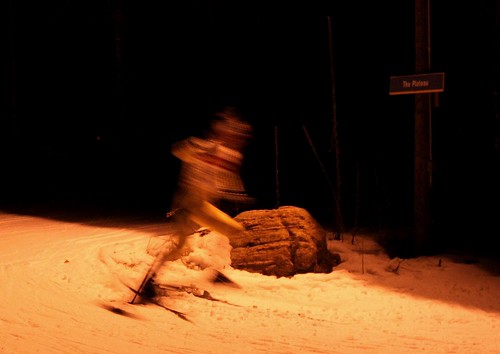
Course set I headed off to marshal a corner. Want to make sure people ski the right way and don’t head off into the gloom of the night down the wrong trail. For the most part however people had previewed the course during warm up so my marshalling duties were pretty light. Gave me an opportunity to take a few photos which was interesting. While I’m quite happy to take long exposure night shots of static things AND I enjoy shooting fast paced sporting events… fast paced sporting events at night is a new challenge. Probably one I need some work at but still got some interesting... ummm, artistic? shots. All in all another good event. Skiing the loops after the race to pick up the v-boards and clean up the course I discovered the real workout for the racers was probably on their optic nerves. We’d set the course with a little bit of daylight left but picking up the course it was full on night. From one light standard to the next (spaced at 200m or so) – at speed – light to dark to light to dark must have made for some interesting challenges. Sounds like a good time was had by all though so well worth the effort.

Blinding speed